Malhamdale Farm Survey 1942
When the Second World War began, Britain was faced with the need to increase home food production and the area of land under cultivation had to be increased significantly. The Minister of Agriculture and Fisheries set up County War Agricultural Executive Committees (County War Ags) to oversee this increased food production.
They had powers to direct what was grown, to take possession of land, to terminate tenancies, to inspect property, and to organise mobile groups of farm workers. One of the first tasks was to direct a ploughing-up campaign with large expanses of grassland being prepared for cultivation and instructions given as to what should be planted.
To assist in this campaign, a preliminary farm survey was started in June 1940 and farms were classified A, B, or C depending on their productive state (ie. the physical condition of the land) and the managerial efficiency (or otherwise) of the farmer (in extreme cases land was taken over by the local Committee). The “War Ag” instructed farmers to plough part of their land and plant alternative crops, as can be seen in the extracts below.
Having reached their initial goals the Ministry of Agriculture and Fisheries then started a 2nd survey to be used in forward planning, which like Domesday would provide a “permanent and comprehensive record of the conditions on the farms of England and Wales” . The National Farm Survey undertaken by district committees consisting of experienced farmers, and was begun in early 1941 and completed by the end of 1943. Every farm and holding of five acres or more was surveyed in addition to the information already gathered in a census return of farms completed by the farmers on June 4th 1941, which had included crop acreage, livestock numbers, information on rents and their length of occupancy.
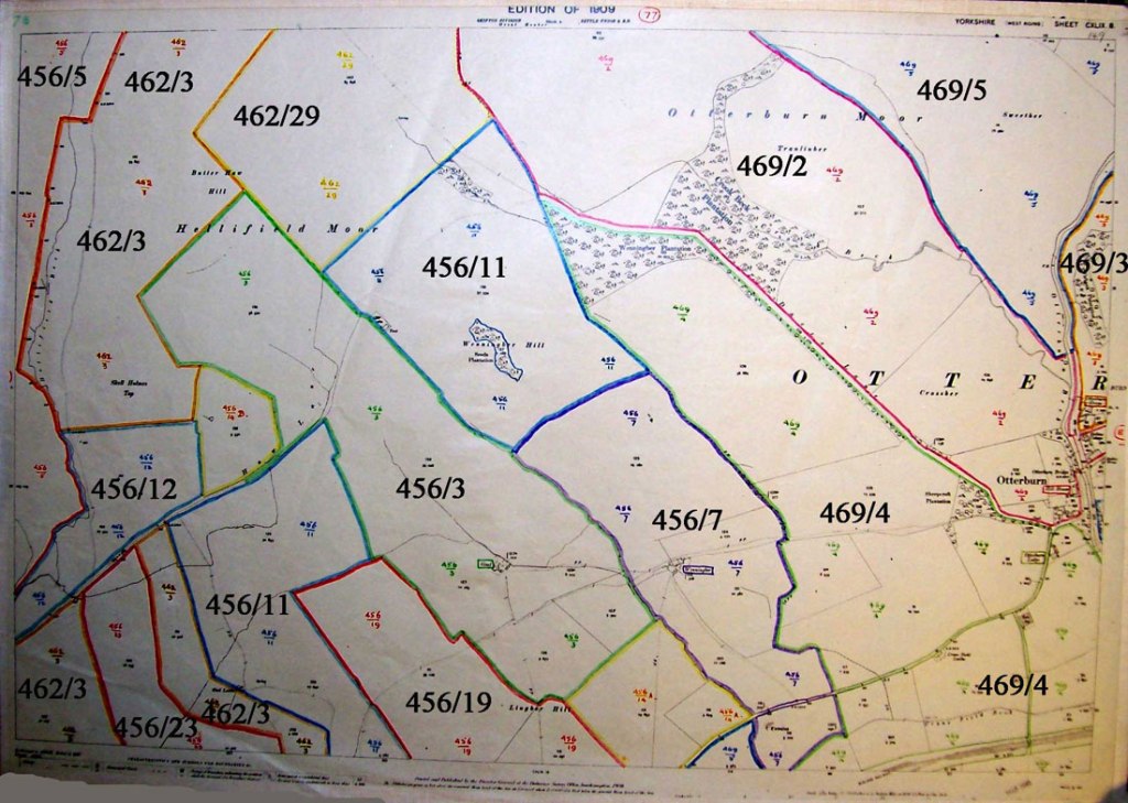
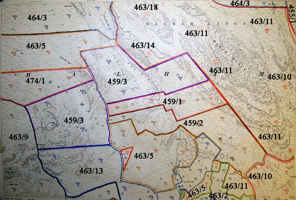
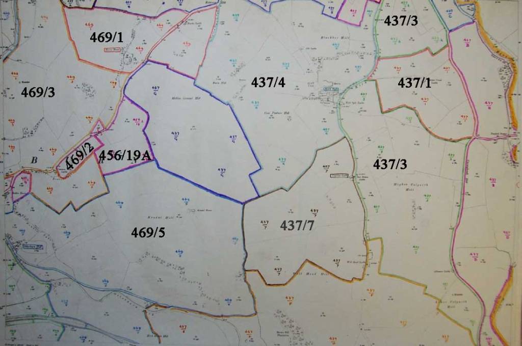
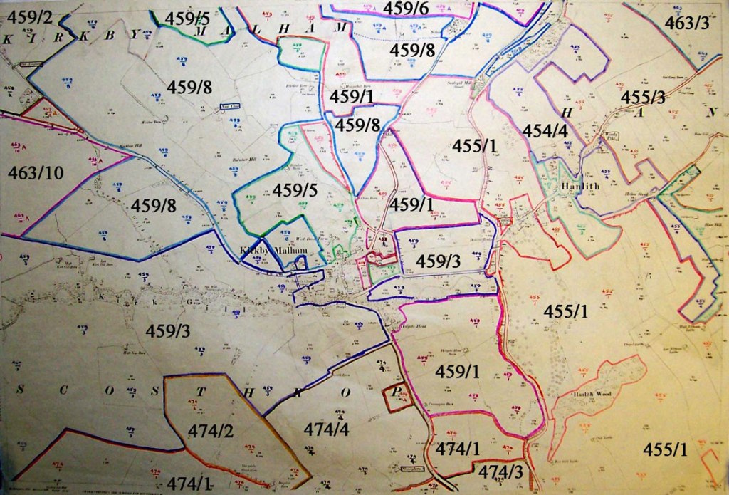
The records created by the inspectors for each farm included information on the conditions of tenure and occupation, and the general state of the farm including its fertility, adequacy of equipment, water and electricity supplies, weeds or pest infestations, and general management, and a map showing the fields and boundaries for each farm was also produced.
Using the Farm Survey Information
The farm survey records for Malhamdale held at the National Archives, were photographed and the information transcribed into tables, making it easier to display and read.
This page shows three ways to help access the data but under WordPress only the direct farm name links are operating:
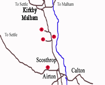
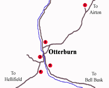
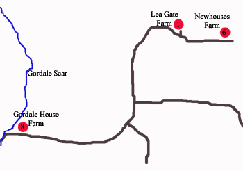
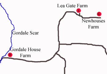
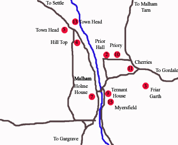
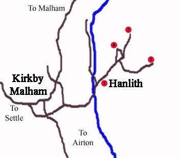
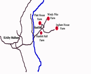
1. By Township – If known, this can be found by selecting the relevant area on the Township map below. This will open a page for that township where each individual farm is listed along with links to the survey data and relevant map.
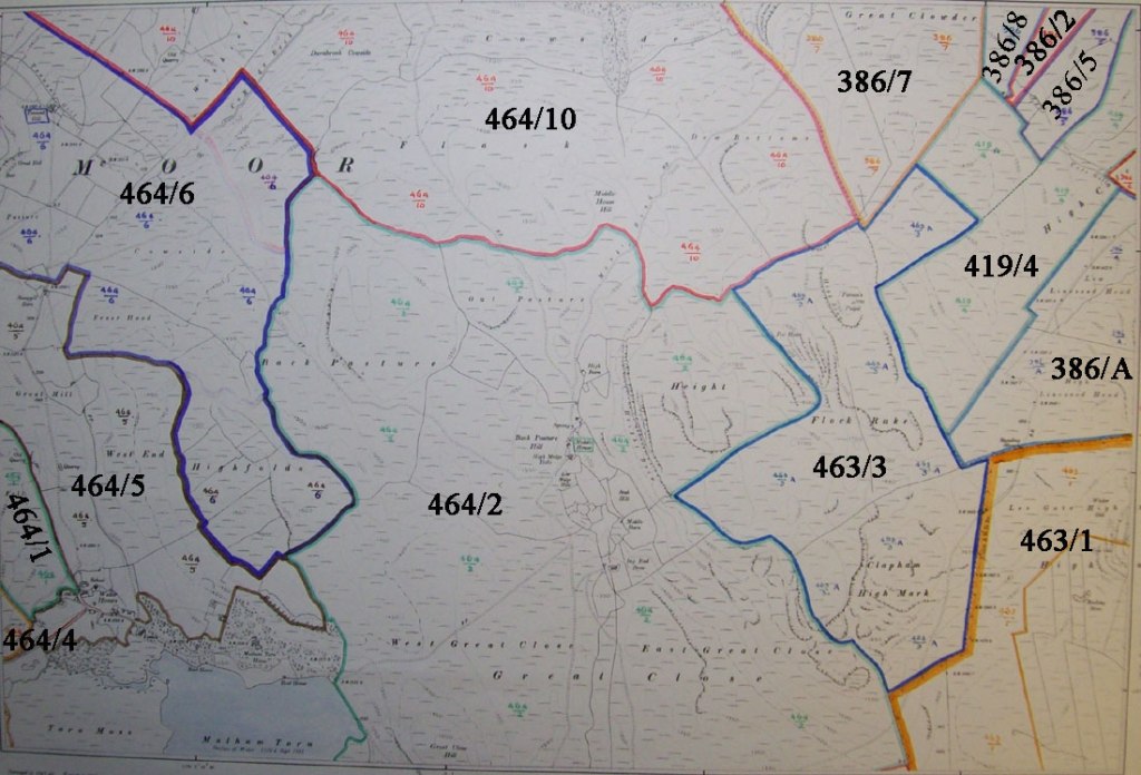
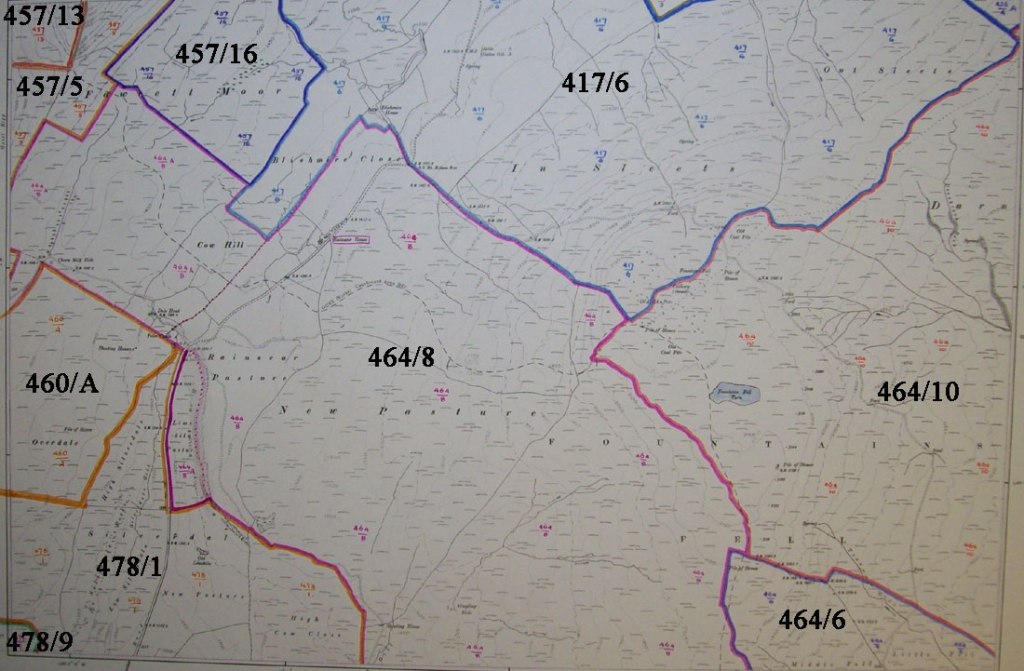
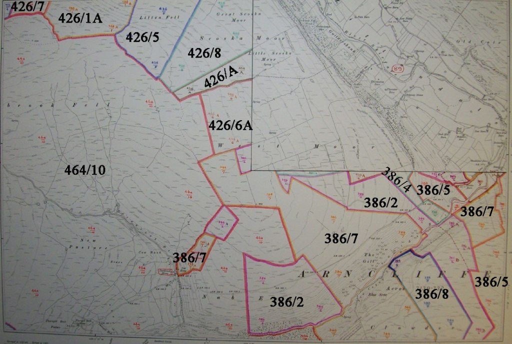
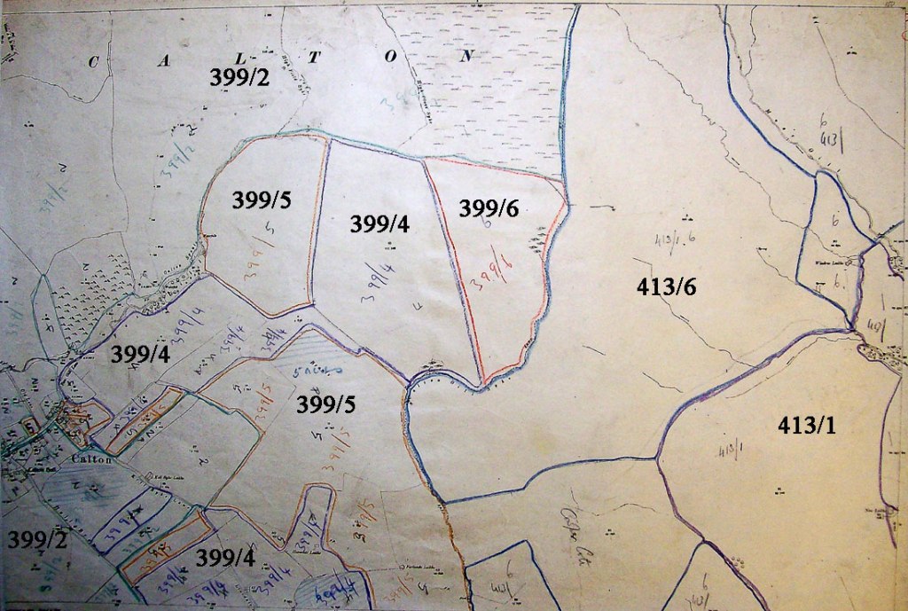
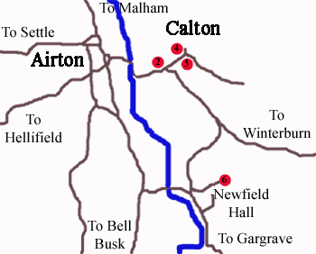
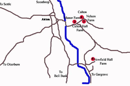
Each township was given a code and each farm a suffix number, for example Dykelands Farm (1), situated in the township of Scosthrop (474) has a code 474-1, and the survey maps indicate the fields belonging to a particular farm using that identification and a colour code.
2. By Location – The right hand Survey Areas locator shows the coverage of the individual survey maps and you can browse the actual map by selecting the area. (Note : the map windows can be resized.)
3. By Farm Name – To search for a known farm, at the bottom of the page you will find an Aphabetical List of Farms surveyed, with links to the relevant Township page where further details can be found. Lower down this page are slideshows containing the township maps of farms,the individual farm photos and the field maps in a separate slideshow.
| Township Map
Select the area to view the Township page and find individual farm details. |
Survey Areas
Select an area to view the relevant survey map (re-sizeable) |
|
|

|


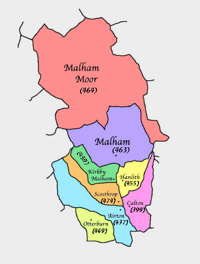
Townships with farm area number 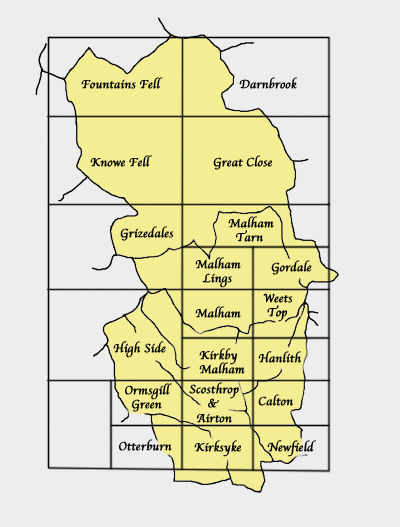
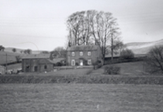
Stoneybers-Farm 
Skellands 

Scosthrop-House 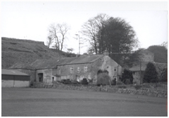
Dykelands 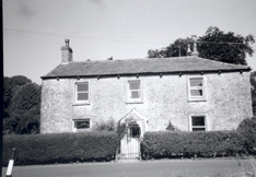
Otterburn-Hall 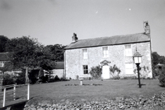
OtterburnHall 
Otterburn Lodge 
Hurries 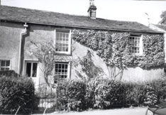
Hillhouse 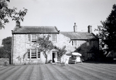
Grove 
TenantGill 
Middlehouse 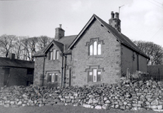
LowerTrenhouse 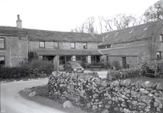
HighTrenhouse 
Darnbrook 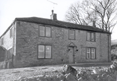
CaponHall 
Townhead2 
TownHead1 
TennantHouse 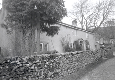
Priory 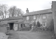
PriorHall 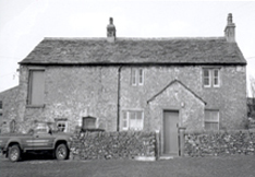
NewHouses 
Miersfield 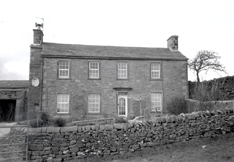
Leegate 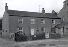
Holme 
HillTop 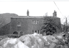
GordaleHouse 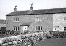
FriarsGarth 
CherriesFarm 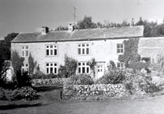
WestBank 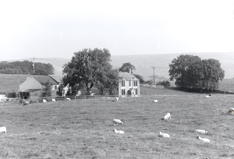
NewClose 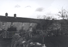
KirkbyTop 
Green 
ChurchEnd 
Accraplatts 
Windypike 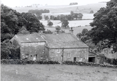
Inghamhouse 
HanlithHall 
Flatthouse 
Newfield-Grange 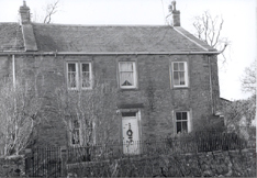
Nelson-Farm 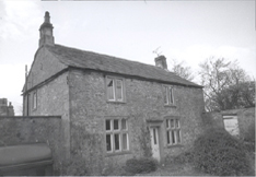
Manor-Farm 
Calton-Lodge 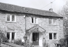
Manor 
ParkHouse 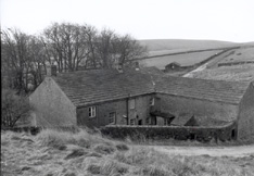
OrmsgillGreen 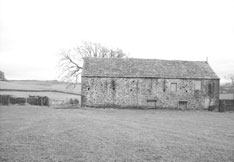
Legrams 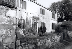
Kirksyke 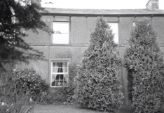
GarrisLodge 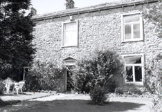
GarrisHouse 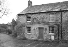
garris 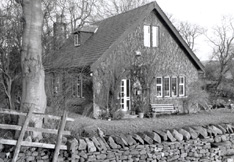
CrossStones 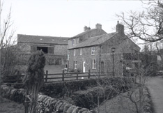
Crakemoor